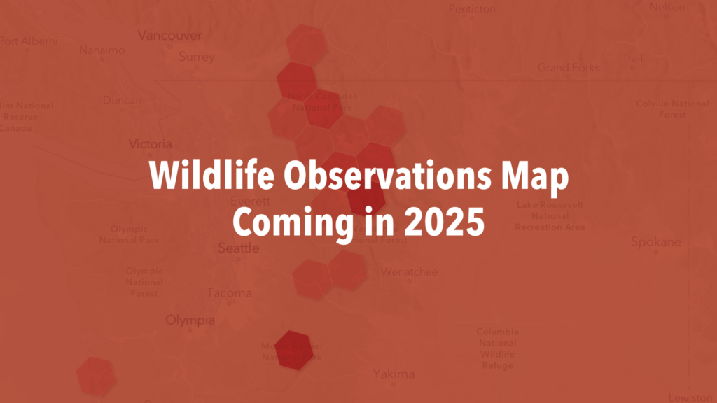
As wolverines reclaim their former range across Washington state and beyond, recreationalists are the eyes and ears on the landscape tracking their return. This dynamic map, created in collaboration with Rivershed SPC, exhibits the incredible effort of our community scientists in documenting wolverines and their tracks across the Cascades. The map includes confirmed and likely wolverine sightings, as well as observations of wolverine tracks submitted to and reviewed by CWP. To protect the privacy of both wolverines and recreationists, locations are aggregated. Please read the full terms of usage below the map.

Purpose of the Map: Our map is designed to showcase observations of wolverines and wolverine tracks in the Cascade Mountains of Washington State, and other adjacent landscapes, as contributed by members of the public. In interpreting the data, keep in mind that the number of observations of wolverines does not indicate the number of wolverines in the landscape.
Wolverines have large home ranges, and a single observation does not assure their presence in the same location over time. However, if a wolverine is consistently spotted in the same area between February and May, she may be denning and raising young. Please avoid these sensitive denning areas, and report any wolverine dens you observe.
Click for Terms and Conditions
Access to Data: Some data displayed on the map may be proprietary and owned by third parties. Users are granted access to view and interact with this data solely for non-commercial or educational purposes. Any unauthorized use, reproduction, or distribution of proprietary data is strictly prohibited.
User Contributions: Public observers may contribute wolverine observations through the Cascades Wolverine Project here. Contributors may grant permission for the Cascades Wolverine Project to share their observation photos publicly. By submitting, users agree to grant us a non-exclusive, worldwide, royalty-free license to use their contributions in connection with the map and our community science initiatives.
Privacy Protection for Wildlife: Wolverines are a threatened species in the contiguous United States. Observations are spatially aggregated on the map to protect both wolverine and observer privacy. We encourage you to learn more about wolverines and the best practices for recreating in wolverine habitat.
Accuracy of Information: While we strive to provide accurate and reliable data on the map, we cannot guarantee the accuracy, completeness, or reliability of user-contributed content. Users are responsible for the accuracy and integrity of the data they submit. The user-contributed observations displayed on this map have been reviewed by at least two wildlife professionals, who determine if a submitted track or direct observation is likely or definitively a wolverine. However, not all observations shown on the map are verified detections. Only direct observations accompanied by diagnostic photos are considered verifiable by the scientific community.
Observations submitted without accompanying photos cannot be verified as wolverine sightings, but they are still included in the comprehensive “All Observations” dataset. Please note that this map is updated quarterly, at most, and may not reflect all wolverine observations currently submitted to the Cascades Wolverine Project.
Intellectual Property Rights: All content and materials on the map, including but not limited to text, graphics, logos, images, and software, are owned or licensed by Cascades Wolverine Project and are protected by copyright, trademark, and other intellectual property laws. Users may not use, reproduce, or distribute any content from the map without our prior written consent.
Modification of Terms: We reserve the right to modify these terms of use at any time without prior notice. By continuing to use the map after any such modifications, users agree to be bound by the updated terms.
Limitation of Liability: In no event shall we be liable for any indirect, consequential, incidental, special, or punitive damages arising out of or in connection with the use of the map, even if we have been advised of the possibility of such damages.
Governing Law: These terms of use shall be governed by and construed in accordance with the laws of the State of Washington, without regard to its conflict of law provisions.
By using our Community Science Observations Map, you acknowledge that you have read, understood, and agree to be bound by these terms and conditions. Thank you for being a part of our community science initiative!
Coming Soon:
Tips for Recreating in Wolverine Country
Video: How to Report a Wolverine Observation
