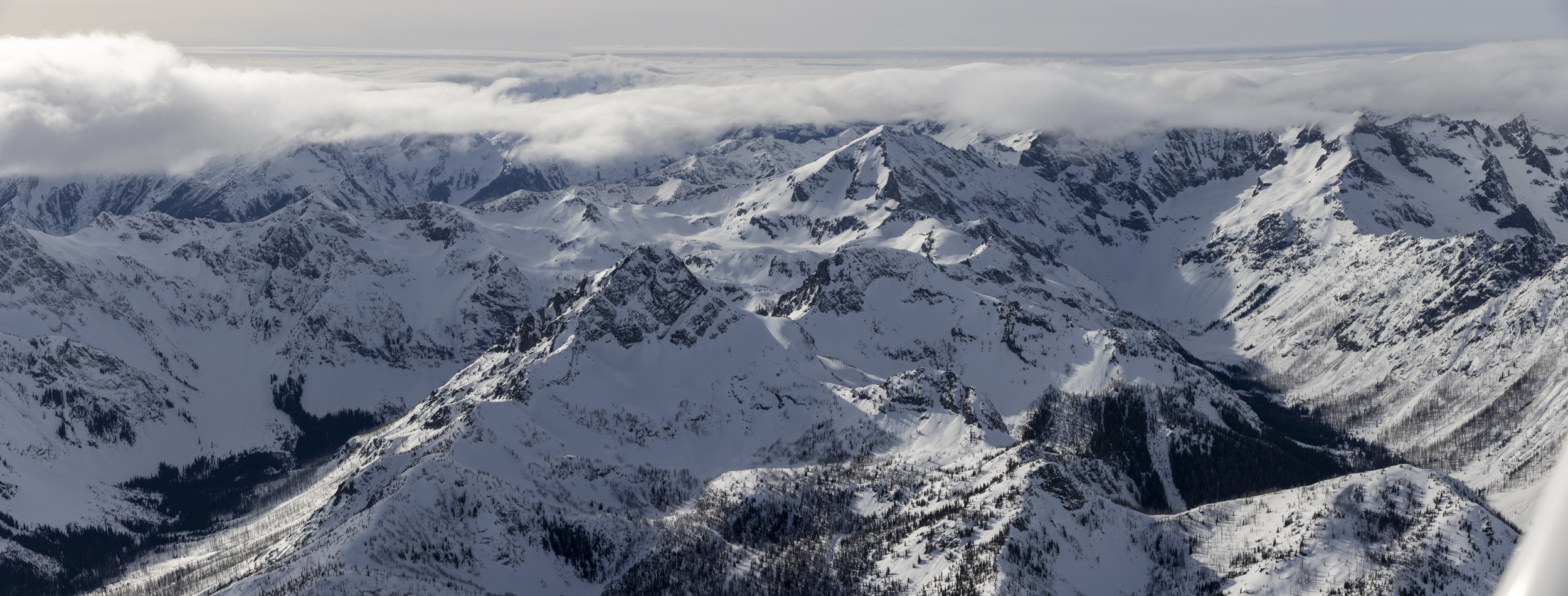
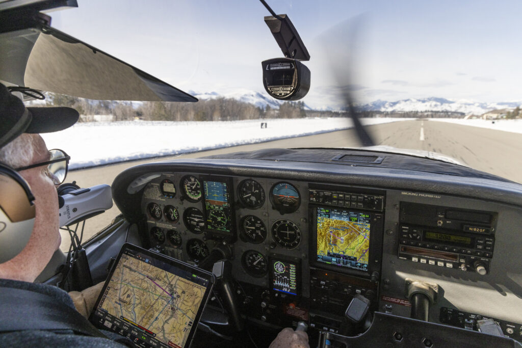
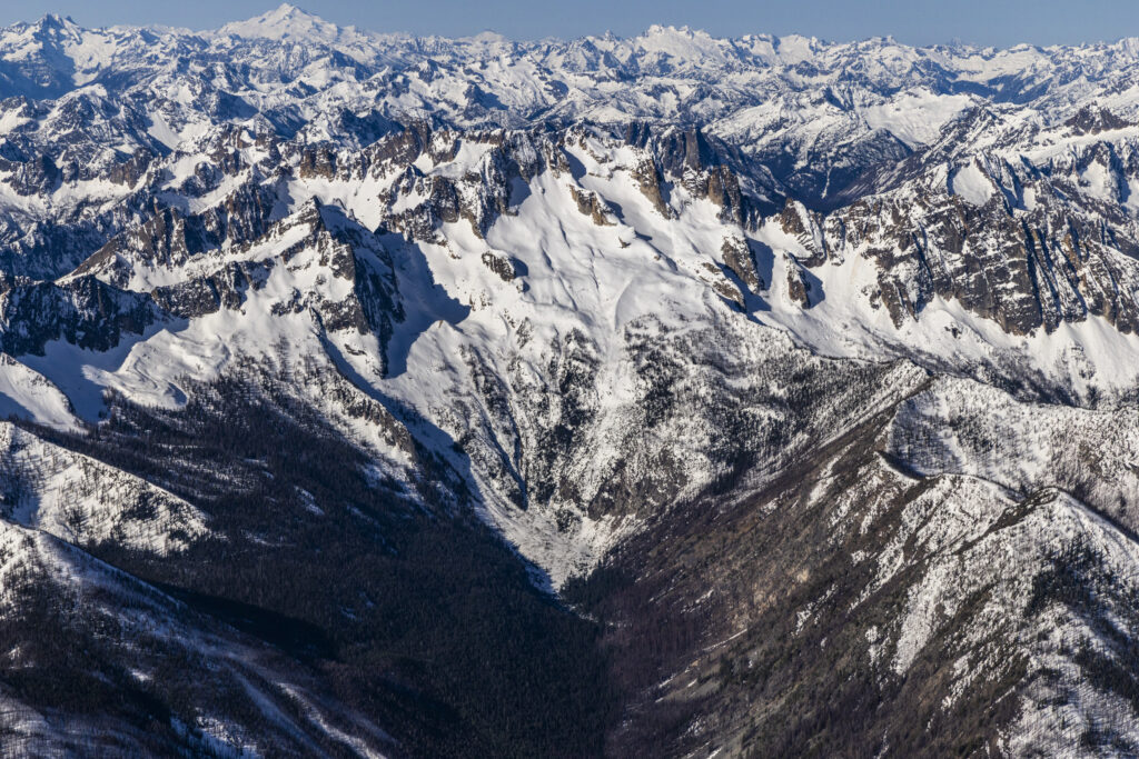
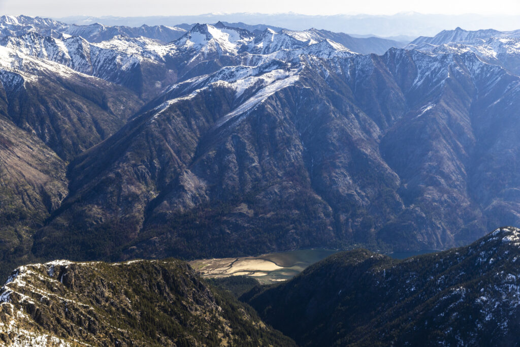
This winter we had the opportunity to fly over the North Cascades and take photos. We did two flights with Light Hawk Conservation Flying and pilot Lane Gormley. We documented Wolverine habitat in the North Cascades and surveyed for wolverine tracks. Our midwinter flight was scheduled to document the snowpack at its maximum. And our spring flight was scheduled to document what the snowpack looks like at the end of wolverine denning season.
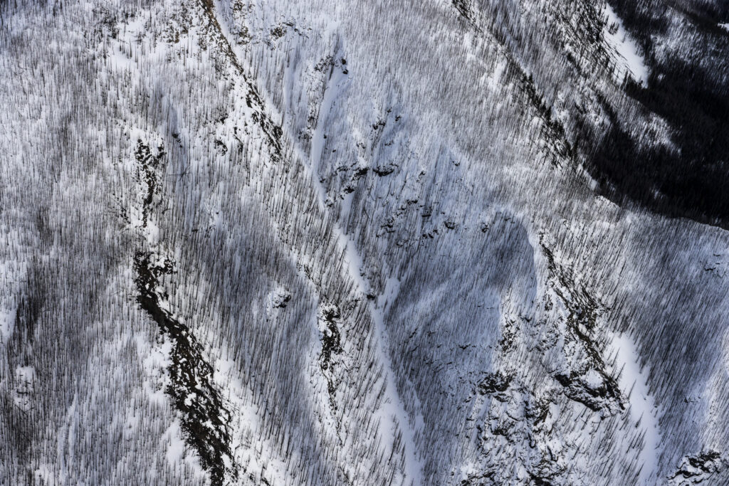
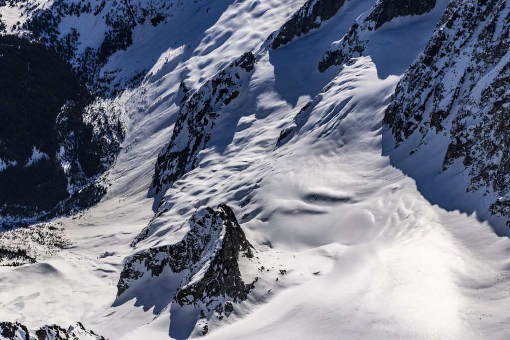
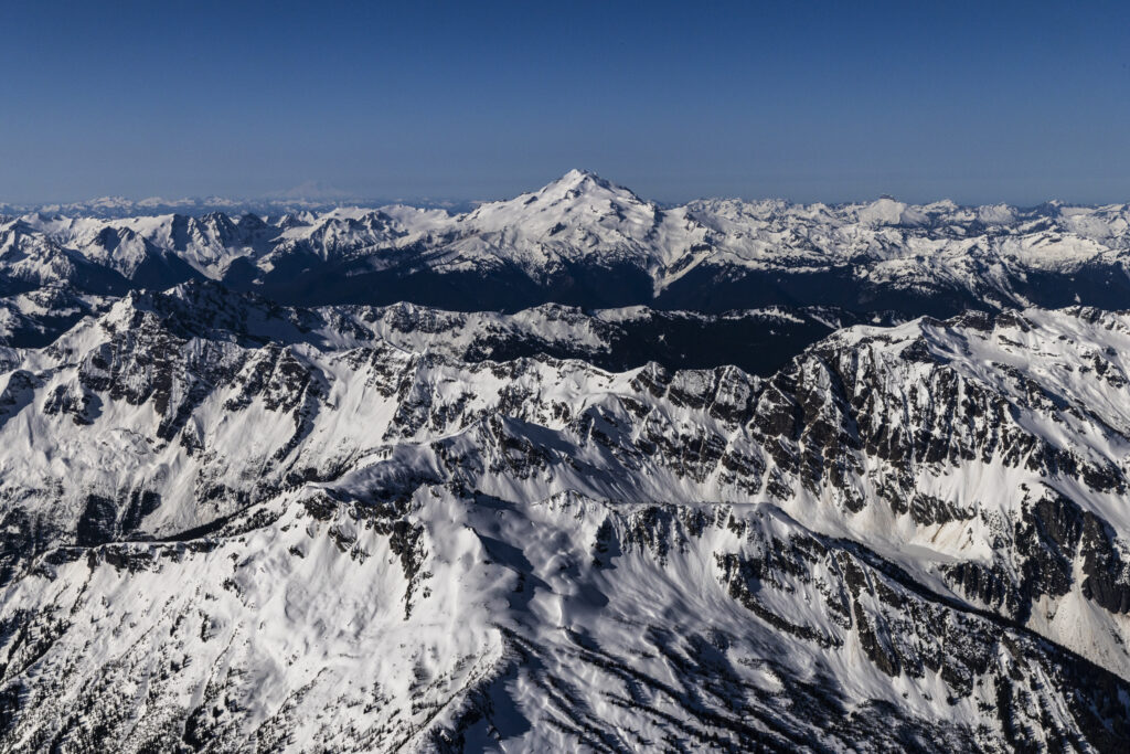
The rugged terrain of the north cascades with tall mountains and deep valleys creates a complex and fragmented landscape for Wolverine denning habitat. Wolverine natal dens are strongly associated with areas that retain winter snowpack into late spring. Despite this year being a low snow year in the north cascades these photos illustrate the still abundant areas wolverines can use for natal dens.
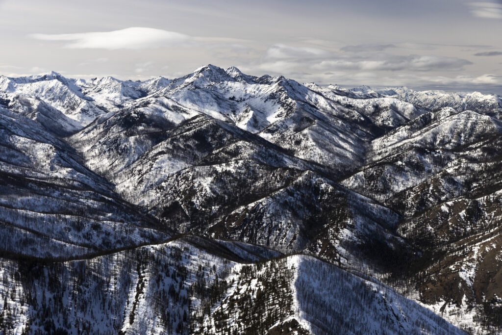
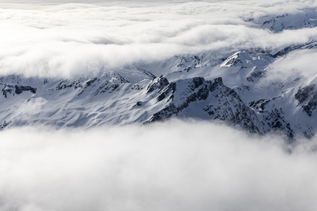
The spring images below also show the tenuous nature of this habitat sitting along the highest elevation of our mountain ranges. With climate change the lower elevations of this habitat will almost certainly be lost over time.
To see a GIS model of what this change may look like over time visit Terradapt‘s website to explore their online map. This fall well be doing another flight with Light Hawk to document these same areas at the point of minimum snow present in the mountains. Stay tuned for more!